Contact Us
Corporate Address:
Weather Risk Management Services Pvt Ltd
37, 3rd Floor, J-1, Bougainvilla Marg,
DLF Phase 2, Gurugram, Haryana 122002
CIN: U67200RJ2004PTC019775

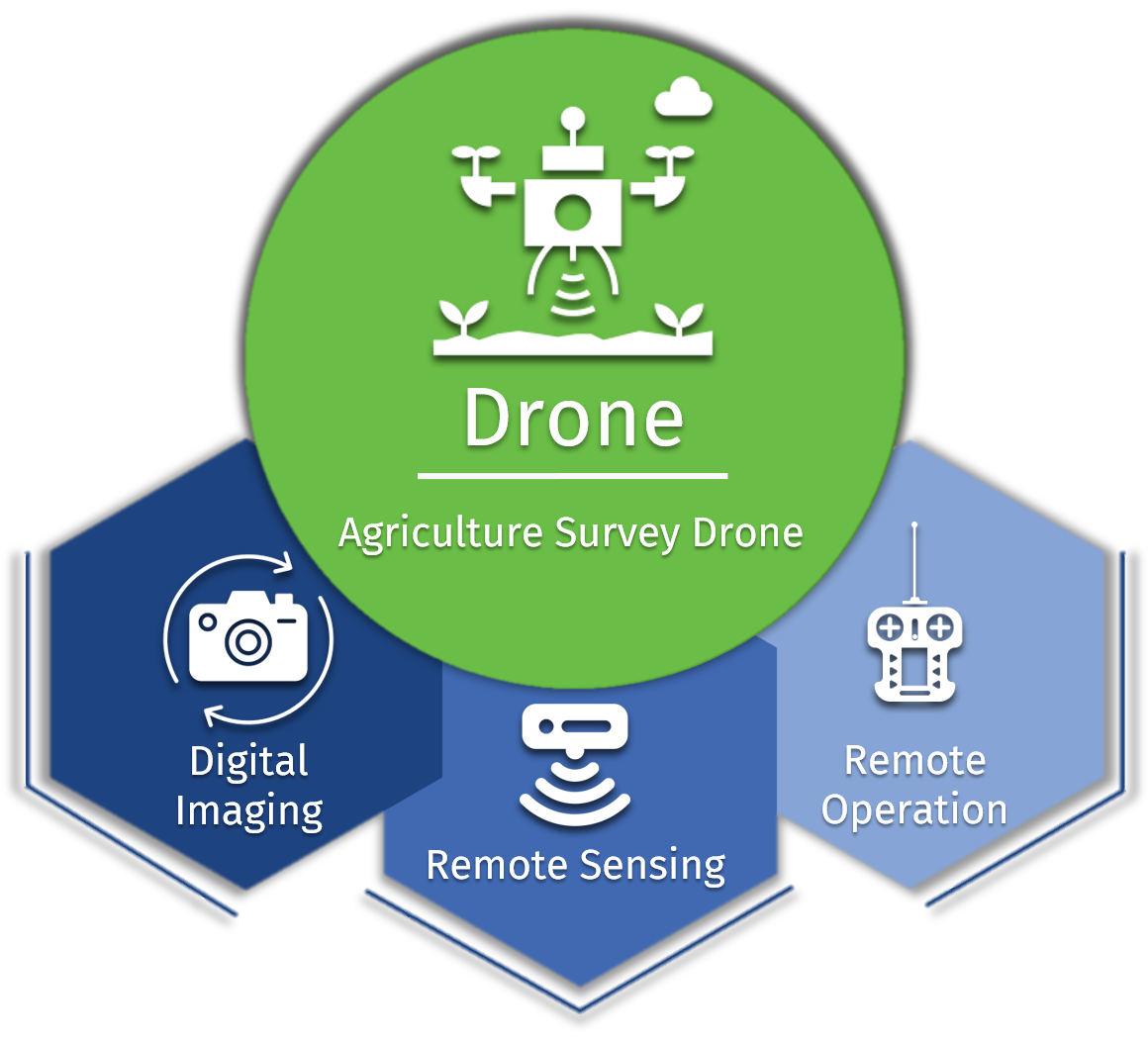
An Agriculture Survey Drone is an unmanned aerial device equipped with sensors & digital imaging capabilities to monitor crop growth remotely .
Agricultural Drones provide a bird’s-eye view of the farms, thus revealing issues related to irrigation, soil, and pest & fungal infestations.
This is achieved using multispectral images that show near-infrared as well as visual spectral views for comparison.