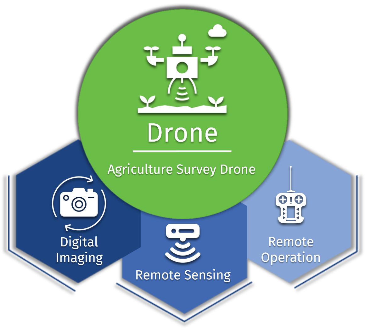
What Is An Agriculture Survey Drone?

An Agriculture Survey Drone is an unmanned aerial device equipped with sensors & digital imaging capabilities to monitor crop growth remotely .

Agricultural Drones provide a bird’s-eye view of the farms, thus revealing issues related to irrigation, soil, and pest & fungal infestations.

This is achieved using multispectral images that show near-infrared as well as visual spectral views for comparison.

What Benefits Do We Offer

Soil and Field Analysis

  • By obtaining 3D maps of existing soil, it is possible to identify issues related to soil quality, nutrient management, or soil dead zones
  • This information can help determine the most effective patterns for planting, optimal water utilization, and managing crop nutrients

Crop Mapping and Surveying

  • Drone technology helps in easy, real-time, and effective large-scale crop & farm monitoring
  • Near infrared drone sensors can help determine plant health based upon light absorption
  • It also helps in maximizing land & resource usage, and better determining crop planting locations

Irrigation Monitoring

  • Thermal cameras installed on drones can help to spot irrigation issues, or areas that are receiving too little or excessive moisture
  • Crops can be better spread out to maximize drainage, adhere to natural land runoff, and avoid water pooling, which can damage sensitive crops

What Problems Do We Solve?

  • Enhancing estimation and decision making related to agricultural production
  • The world’s first smart & sustainable farming solution that provides a guaranteed income to the farmers and makes investment in smart farming financially viable.

We Have A Solution For You

We care about your businesses. Let us help you make it thrive

Request A Call

  • This field is for validation purposes and should be left unchanged.

Request A Call

  • This field is for validation purposes and should be left unchanged.